
油榨街村 topographic map
Interactive map
Click on the map to display elevation.
About this map
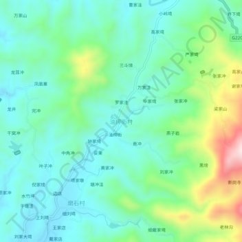
Name: 油榨街村 topographic map, elevation, terrain.
Location: 油榨街村, 黄冈市, 湖北省, 中国 (31.48240 115.16063 31.52240 115.20063)
Average elevation: 274 m
Minimum elevation: 169 m
Maximum elevation: 580 m
Other topographic maps
Click on a map to view its topography, its elevation and its terrain.