
大通河 topographic map
Interactive map
Click on the map to display elevation.
About this map
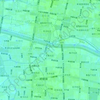
Name: 大通河 topographic map, elevation, terrain.
Location: 大通河, 湖塘镇, 武进区, 常州市, 江苏省, 213100, 中国 (31.73492 119.92485 31.74507 119.97019)
Average elevation: 6 m
Minimum elevation: 2 m
Maximum elevation: 10 m
Other topographic maps
Click on a map to view its topography, its elevation and its terrain.