
大杨村 topographic map
Interactive map
Click on the map to display elevation.
About this map
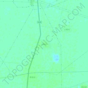
Name: 大杨村 topographic map, elevation, terrain.
Location: 大杨村, 沧州市, 河北省, 061000, 中国 (38.22220 117.29777 38.26220 117.33777)
Average elevation: 7 m
Minimum elevation: 3 m
Maximum elevation: 10 m
Other topographic maps
Click on a map to view its topography, its elevation and its terrain.