
张官屯乡 topographic map
Interactive map
Click on the map to display elevation.
About this map
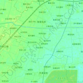
Name: 张官屯乡 topographic map, elevation, terrain.
Location: 张官屯乡, 沧县, 沧州市, 河北省, 061000, 中国 (38.10603 116.75229 38.23290 116.91761)
Average elevation: 11 m
Minimum elevation: 6 m
Maximum elevation: 15 m
Other topographic maps
Click on a map to view its topography, its elevation and its terrain.