
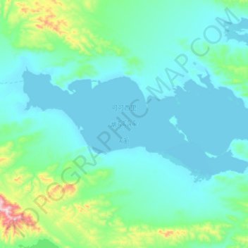
可可西里湖 topographic map
Interactive map
Click on the map to display elevation.
About this map
Name: 可可西里湖 topographic map, elevation, terrain.
Location: 可可西里湖, 治多县, 玉树藏族自治州, 青海省, 中国 (35.50248 90.92475 35.65850 91.33225)
Average elevation: 4,977 m
Minimum elevation: 4,885 m
Maximum elevation: 5,598 m
Other topographic maps
Click on a map to view its topography, its elevation and its terrain.