
温榆河 topographic map
Interactive map
Click on the map to display elevation.
About this map
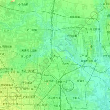
Name: 温榆河 topographic map, elevation, terrain.
Location: 温榆河, 顺义区, 北京市, 102209, 中国 (39.96617 116.31454 40.15255 116.63796)
Average elevation: 37 m
Minimum elevation: 18 m
Maximum elevation: 109 m
Other topographic maps
Click on a map to view its topography, its elevation and its terrain.