
向阳村 topographic map
Interactive map
Click on the map to display elevation.
About this map
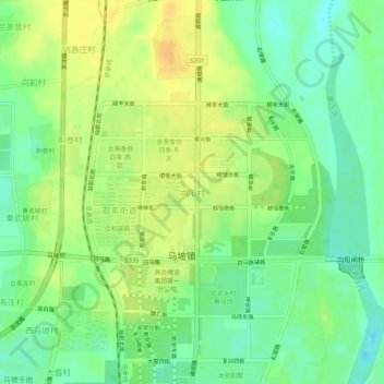
Name: 向阳村 topographic map, elevation, terrain.
Location: 向阳村, 顺义区, 北京市, 中国 (40.15649 116.63339 40.19649 116.67339)
Average elevation: 39 m
Minimum elevation: 24 m
Maximum elevation: 54 m
Other topographic maps
Click on a map to view its topography, its elevation and its terrain.