
关地南山 topographic map
Interactive map
Click on the map to display elevation.
About this map
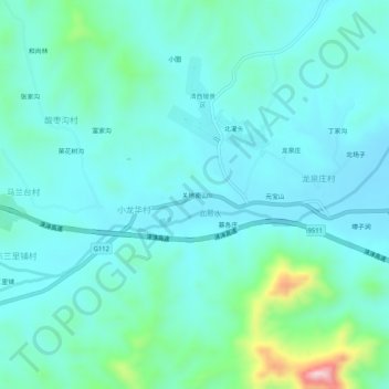
Name: 关地南山 topographic map, elevation, terrain.
Location: 关地南山, 易县, 保定市, 河北省, 中国 (39.31445 115.27763 39.35445 115.31763)
Average elevation: 160 m
Minimum elevation: 102 m
Maximum elevation: 445 m
Other topographic maps
Click on a map to view its topography, its elevation and its terrain.