
东台 topographic map
Interactive map
Click on the map to display elevation.
About this map
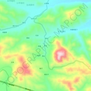
Name: 东台 topographic map, elevation, terrain.
Location: 东台, 易县, 保定市, 河北省, 中国 (39.19674 115.01741 39.23674 115.05741)
Average elevation: 351 m
Minimum elevation: 232 m
Maximum elevation: 566 m
Other topographic maps
Click on a map to view its topography, its elevation and its terrain.