
可乐彝族苗族乡 topographic map
Interactive map
Click on the map to display elevation.
About this map
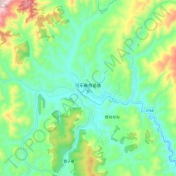
Name: 可乐彝族苗族乡 topographic map, elevation, terrain.
Location: 可乐彝族苗族乡, 赫章县, 毕节市, 贵州省, 中国 (27.20020 104.36062 27.28020 104.44062)
Average elevation: 1,933 m
Minimum elevation: 1,744 m
Maximum elevation: 2,381 m
Other topographic maps
Click on a map to view its topography, its elevation and its terrain.