
Thank you for supporting this site ❤️
Make a donation
Make a donation
Mui Wo topographic map
Click on the map to display elevation.
Thank you for supporting this site ❤️
Make a donation
Make a donation
About this map
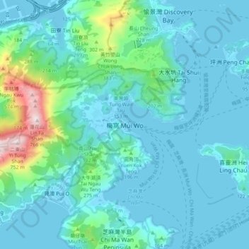
Name: Mui Wo topographic map, elevation, terrain.
Location: Mui Wo, Islands District, New Territories, Hong Kong, China (22.22454 113.96131 22.30454 114.04131)
Average elevation: 104 m
Minimum elevation: -6 m
Maximum elevation: 744 m
Thank you for supporting this site ❤️
Make a donation
Make a donation
Other topographic maps
Click on a map to view its topography, its elevation and its terrain.