
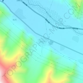
塔巴 topographic map
Interactive map
Click on the map to display elevation.
About this map
Name: 塔巴 topographic map, elevation, terrain.
Location: 塔巴, 拉萨市, 西藏自治区, 中国 (29.79639 91.74041 29.83639 91.78041)
Average elevation: 3,981 m
Minimum elevation: 3,819 m
Maximum elevation: 4,669 m
Other topographic maps
Click on a map to view its topography, its elevation and its terrain.