
Sterrebeek topographic map
Interactive map
Click on the map to display elevation.
About this map
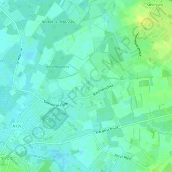
Name: Sterrebeek topographic map, elevation, terrain.
Location: Sterrebeek, Hasselt, Limburg, Vlaanderen, 3512, België (50.92560 5.26293 50.92887 5.27090)
Average elevation: 32 m
Minimum elevation: 26 m
Maximum elevation: 43 m
Other topographic maps
Click on a map to view its topography, its elevation and its terrain.
Heksenberg
België > Vlaanderen > Hasselt > Heksenberg
Heksenberg, Hasselt, Limburg, Vlaanderen, 35000, België
Average elevation: 35 m
Spalbeek
België > Vlaanderen > Hasselt
Spalbeek, Hasselt, Limburg, Vlaanderen, België
Average elevation: 27 m