
卡玛多乡 topographic map
Interactive map
Click on the map to display elevation.
About this map
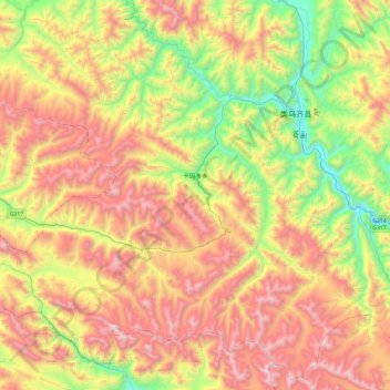
Name: 卡玛多乡 topographic map, elevation, terrain.
Location: 卡玛多乡, 类乌齐县, 昌都市, 西藏自治区, 中国 (30.94742 96.16476 31.33332 96.63948)
Average elevation: 4,526 m
Minimum elevation: 3,745 m
Maximum elevation: 5,426 m
Other topographic maps
Click on a map to view its topography, its elevation and its terrain.