
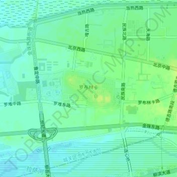
罗布林卡 topographic map
Interactive map
Click on the map to display elevation.
About this map
Name: 罗布林卡 topographic map, elevation, terrain.
Location: 罗布林卡, 公德林街道, 城关区, 拉萨市, 西藏自治区, 中国 (29.65149 91.08554 29.65709 91.09445)
Average elevation: 3,648 m
Minimum elevation: 3,642 m
Maximum elevation: 3,656 m
Other topographic maps
Click on a map to view its topography, its elevation and its terrain.