
吉崩岗街道 topographic map
Interactive map
Click on the map to display elevation.
About this map
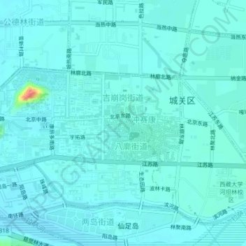
Name: 吉崩岗街道 topographic map, elevation, terrain.
Location: 吉崩岗街道, 城关区, 拉萨市, 西藏自治区, 中国 (29.64741 91.10298 29.66159 91.13870)
Average elevation: 3,656 m
Minimum elevation: 3,648 m
Maximum elevation: 3,717 m
Other topographic maps
Click on a map to view its topography, its elevation and its terrain.