
竹园仔村 topographic map
Interactive map
Click on the map to display elevation.
About this map
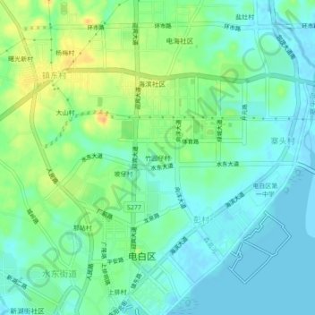
Name: 竹园仔村 topographic map, elevation, terrain.
Location: 竹园仔村, 电白区, 茂名市, 广东省, 中国 (21.50857 110.99132 21.54857 111.03132)
Average elevation: 12 m
Minimum elevation: -5 m
Maximum elevation: 36 m
Other topographic maps
Click on a map to view its topography, its elevation and its terrain.