
通天蜡 topographic map
Interactive map
Click on the map to display elevation.
About this map
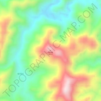
Name: 通天蜡 topographic map, elevation, terrain.
Location: 通天蜡, 茂名市, 广东省, 中国 (22.43695 111.51878 22.43705 111.51888)
Average elevation: 350 m
Minimum elevation: 159 m
Maximum elevation: 587 m
Other topographic maps
Click on a map to view its topography, its elevation and its terrain.