
Thank you for supporting this site ❤️
Make a donation
Make a donation
Lac Malaga topographic map
Click on the map to display elevation.
Thank you for supporting this site ❤️
Make a donation
Make a donation
About this map
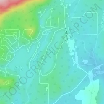
Name: Lac Malaga topographic map, elevation, terrain.
Location: Lac Malaga, Austin, Memphrémagog, Estrie, Québec, Canada (45.24619 -72.26264 45.25706 -72.25426)
Average elevation: 305 m
Minimum elevation: 262 m
Maximum elevation: 499 m
Thank you for supporting this site ❤️
Make a donation
Make a donation
Other topographic maps
Click on a map to view its topography, its elevation and its terrain.