
Thank you for supporting this site ❤️
Make a donation
Make a donation
Kuruva Island topographic map
Click on the map to display elevation.
Thank you for supporting this site ❤️
Make a donation
Make a donation
About this map
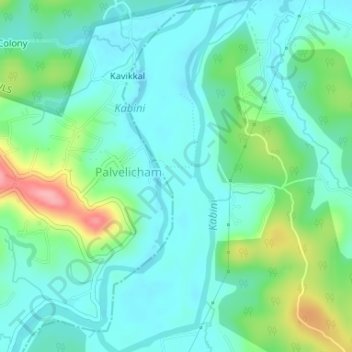
Name: Kuruva Island topographic map, elevation, terrain.
Location: Kuruva Island, Sulthanbathery, Wayanad District, Kerala, India (11.80550 76.08514 11.83762 76.09906)
Average elevation: 733 m
Minimum elevation: 704 m
Maximum elevation: 817 m
Thank you for supporting this site ❤️
Make a donation
Make a donation
Other topographic maps
Click on a map to view its topography, its elevation and its terrain.