
Teluk Karya topographic map
Interactive map
Click on the map to display elevation.
About this map
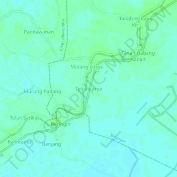
Name: Teluk Karya topographic map, elevation, terrain.
Average elevation: 9 m
Minimum elevation: 5 m
Maximum elevation: 12 m
Other topographic maps
Click on a map to view its topography, its elevation and its terrain.
Balangan
Indonesia > South Kalimantan > Balangan
Balangan, South Kalimantan, Indonesia
Average elevation: 203 m