
绵竹市 topographic map
Interactive map
Click on the map to display elevation.
About this map
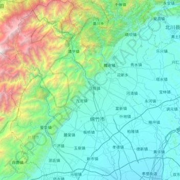
Name: 绵竹市 topographic map, elevation, terrain.
Location: 绵竹市, 德阳市, 四川省, 中国 (31.15586 103.90586 31.69998 104.34153)
Average elevation: 1,212 m
Minimum elevation: 493 m
Maximum elevation: 4,833 m
Other topographic maps
Click on a map to view its topography, its elevation and its terrain.