
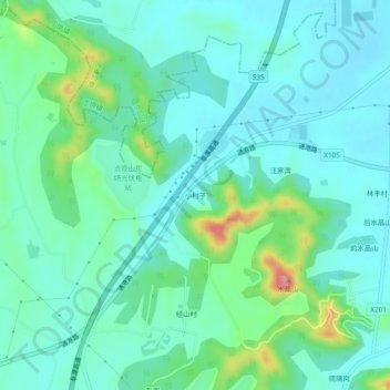
小村子 topographic map
Interactive map
Click on the map to display elevation.
About this map
Name: 小村子 topographic map, elevation, terrain.
Location: 小村子, 丹阳市, 镇江市, 江苏省, 212300, 中国 (32.06773 119.65150 32.10773 119.69150)
Average elevation: 38 m
Minimum elevation: 6 m
Maximum elevation: 154 m
Other topographic maps
Click on a map to view its topography, its elevation and its terrain.