
界牌镇 topographic map
Interactive map
Click on the map to display elevation.
About this map
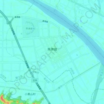
Name: 界牌镇 topographic map, elevation, terrain.
Location: 界牌镇, 丹阳市, 镇江市, 江苏省, 212300, 中国 (32.04130 119.82174 32.10201 119.89461)
Average elevation: 5 m
Minimum elevation: 0 m
Maximum elevation: 52 m
Other topographic maps
Click on a map to view its topography, its elevation and its terrain.