
Marlen topographic map
Interactive map
Click on the map to display elevation.
About this map
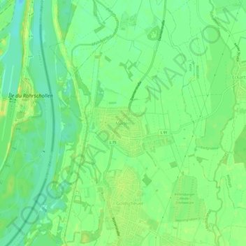
Name: Marlen topographic map, elevation, terrain.
Average elevation: 141 m
Minimum elevation: 130 m
Maximum elevation: 151 m
Other topographic maps
Click on a map to view its topography, its elevation and its terrain.
Leutesheim
Deutschland > Baden-Württemberg > Ortenaukreis > Kehl
Leutesheim, Kehl, Ortenaukreis, Baden-Württemberg, Deutschland
Average elevation: 132 m