
Leutesheim topographic map
Interactive map
Click on the map to display elevation.
About this map
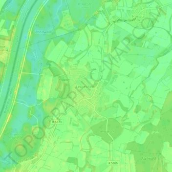
Name: Leutesheim topographic map, elevation, terrain.
Location: Leutesheim, Kehl, Ortenaukreis, Baden-Württemberg, Deutschland (48.61256 7.83202 48.64105 7.88284)
Average elevation: 132 m
Minimum elevation: 122 m
Maximum elevation: 141 m
Other topographic maps
Click on a map to view its topography, its elevation and its terrain.
Marlen
Deutschland > Baden-Württemberg > Ortenaukreis > Kehl
Marlen, Kehl, Ortenaukreis, Baden-Württemberg, 77694, Deutschland
Average elevation: 141 m