
小麦岛公园 topographic map
Interactive map
Click on the map to display elevation.
About this map
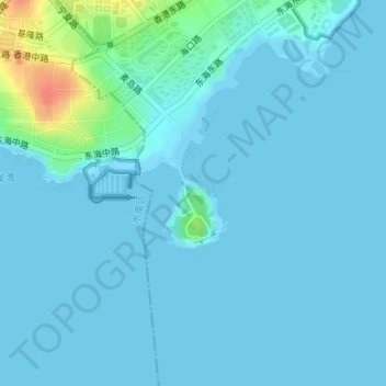
Name: 小麦岛公园 topographic map, elevation, terrain.
Location: 小麦岛公园, 崂山区, 青岛市, 山东省, 266100, 中国 (36.05562 120.42584 36.05572 120.42594)
Average elevation: 6 m
Minimum elevation: -1 m
Maximum elevation: 51 m
Other topographic maps
Click on a map to view its topography, its elevation and its terrain.