
Buffalo topographic map
Interactive map
Click on the map to display elevation.
About this map
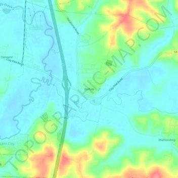
Name: Buffalo topographic map, elevation, terrain.
Location: Buffalo, Guernsey County, Ohio, 43722, United States (39.89591 -81.54012 39.93591 -81.50012)
Average elevation: 259 m
Minimum elevation: 237 m
Maximum elevation: 320 m
Other topographic maps
Click on a map to view its topography, its elevation and its terrain.
Old Washington
United States > Ohio > Guernsey County
Old Washington, Guernsey County, Ohio, 43768, United States
Average elevation: 299 m
Barton Manor
United States > Ohio > Guernsey County > Cambridge
Barton Manor, Cambridge, Guernsey County, Ohio, 43725, United States
Average elevation: 265 m