
Old Washington topographic map
Interactive map
Click on the map to display elevation.
About this map
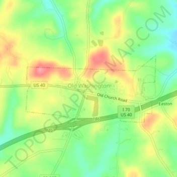
Name: Old Washington topographic map, elevation, terrain.
Location: Old Washington, Guernsey County, Ohio, 43768, United States (40.03306 -81.45709 40.04331 -81.43120)
Average elevation: 299 m
Minimum elevation: 257 m
Maximum elevation: 348 m
Other topographic maps
Click on a map to view its topography, its elevation and its terrain.
Barton Manor
United States > Ohio > Guernsey County > Cambridge
Barton Manor, Cambridge, Guernsey County, Ohio, 43725, United States
Average elevation: 265 m
Buffalo
United States > Ohio > Guernsey County
Buffalo, Guernsey County, Ohio, 43722, United States
Average elevation: 259 m