
下察隅镇 topographic map
Interactive map
Click on the map to display elevation.
About this map
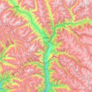
Name: 下察隅镇 topographic map, elevation, terrain.
Location: 下察隅镇, 察隅县, 林芝市, 西藏自治区, 中国 (28.21477 96.78219 28.67389 97.51746)
Average elevation: 3,499 m
Minimum elevation: 1,145 m
Maximum elevation: 5,306 m
下察隅镇政府驻地海拔约1520米。
Other topographic maps
Click on a map to view its topography, its elevation and its terrain.