
察瓦龙乡 topographic map
Interactive map
Click on the map to display elevation.
About this map
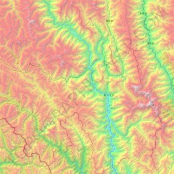
Name: 察瓦龙乡 topographic map, elevation, terrain.
Location: 察瓦龙乡, 察隅县, 林芝市, 西藏自治区, 中国 (28.10689 98.03958 28.92288 98.75310)
Average elevation: 3,871 m
Minimum elevation: 1,714 m
Maximum elevation: 6,602 m
Other topographic maps
Click on a map to view its topography, its elevation and its terrain.