
摆金镇 topographic map
Interactive map
Click on the map to display elevation.
About this map
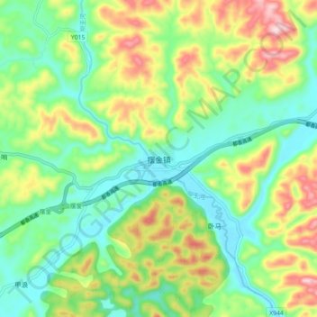
Name: 摆金镇 topographic map, elevation, terrain.
Location: 摆金镇, 惠水县, 黔南布依族苗族自治州, 贵州省, 558000, 中国 (26.06237 106.77356 26.14237 106.85356)
Average elevation: 1,218 m
Minimum elevation: 1,099 m
Maximum elevation: 1,435 m
Other topographic maps
Click on a map to view its topography, its elevation and its terrain.