
富邦 topographic map
Interactive map
Click on the map to display elevation.
About this map
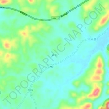
Name: 富邦 topographic map, elevation, terrain.
Location: 富邦, 惠水县, 黔南布依族苗族自治州, 贵州省, 558000, 中国 (26.04501 106.73903 26.08501 106.77903)
Average elevation: 1,160 m
Minimum elevation: 1,112 m
Maximum elevation: 1,290 m
Other topographic maps
Click on a map to view its topography, its elevation and its terrain.