
Thank you for supporting this site ❤️
Make a donation
Make a donation
Kruispeel topographic map
Click on the map to display elevation.
Thank you for supporting this site ❤️
Make a donation
Make a donation
About this map
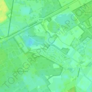
Name: Kruispeel topographic map, elevation, terrain.
Location: Kruispeel, Weert, Limburg, Nederland (51.21495 5.62350 51.23820 5.64760)
Average elevation: 35 m
Minimum elevation: 27 m
Maximum elevation: 45 m
Thank you for supporting this site ❤️
Make a donation
Make a donation
Other topographic maps
Click on a map to view its topography, its elevation and its terrain.
Laar
Laar is gelegen in het landelijk gebied ten noordwesten van Weert op een hoogte van ongeveer 32 meter. Door de aanleg van autowegen, bedrijventerreinen en -in het eerste kwart van de 21e eeuw- ook woonwijken komt de stad steeds dichterbij. Ten zuiden van Laar wordt de nieuwe woonwijk Laarveld gerealiseerd. Het…
Average elevation: 33 m
Thank you for supporting this site ❤️
Make a donation
Make a donation