
Thank you for supporting this site ❤️
Make a donation
Make a donation
Altweerterheide topographic map
Click on the map to display elevation.
Thank you for supporting this site ❤️
Make a donation
Make a donation
About this map
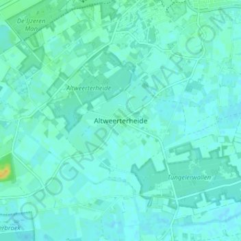
Name: Altweerterheide topographic map, elevation, terrain.
Location: Altweerterheide, Weert, Limburg, Nederland, 6006 TS, Nederland (51.20015 5.65939 51.24015 5.69939)
Average elevation: 34 m
Minimum elevation: 30 m
Maximum elevation: 52 m
Thank you for supporting this site ❤️
Make a donation
Make a donation
Other topographic maps
Click on a map to view its topography, its elevation and its terrain.