
West Lawrencetown topographic map
Interactive map
Click on the map to display elevation.
About this map
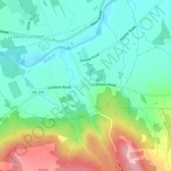
Name: West Lawrencetown topographic map, elevation, terrain.
Average elevation: 55 m
Minimum elevation: 4 m
Maximum elevation: 165 m
Other topographic maps
Click on a map to view its topography, its elevation and its terrain.
West Lawerenctown
Canada > Nova Scotia > Lawrencetown
West Lawerenctown, Lawrencetown, Nova Scotia, Canada
Average elevation: 11 m