
睦里 topographic map
Interactive map
Click on the map to display elevation.
About this map
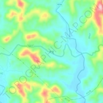
Name: 睦里 topographic map, elevation, terrain.
Location: 睦里, 安化县, 益阳市, 湖南省, 中国 (28.51311 111.62804 28.55311 111.66804)
Average elevation: 147 m
Minimum elevation: 78 m
Maximum elevation: 316 m
Other topographic maps
Click on a map to view its topography, its elevation and its terrain.