
九里镇 topographic map
Interactive map
Click on the map to display elevation.
About this map
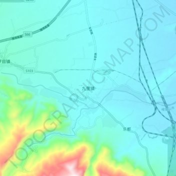
Name: 九里镇 topographic map, elevation, terrain.
Location: 九里镇, 峨眉山市, 乐山市, 四川省, 中国 (29.46506 103.46174 29.54506 103.54174)
Average elevation: 512 m
Minimum elevation: 419 m
Maximum elevation: 1,046 m
Other topographic maps
Click on a map to view its topography, its elevation and its terrain.