
帅村机场 topographic map
Interactive map
Click on the map to display elevation.
About this map
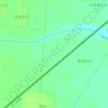
Name: 帅村机场 topographic map, elevation, terrain.
Location: 帅村机场, 定州市, 保定市, 河北省, 中国 (38.55787 115.14123 38.55797 115.14133)
Average elevation: 44 m
Minimum elevation: 37 m
Maximum elevation: 48 m
Other topographic maps
Click on a map to view its topography, its elevation and its terrain.