
三川镇 topographic map
Interactive map
Click on the map to display elevation.
About this map
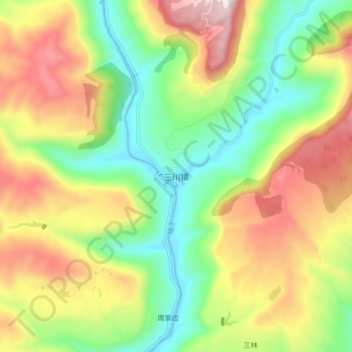
Name: 三川镇 topographic map, elevation, terrain.
Location: 三川镇, 苍溪县, 广元市, 四川省, 中国 (31.90223 105.97312 31.98223 106.05312)
Average elevation: 696 m
Minimum elevation: 383 m
Maximum elevation: 1,120 m
Other topographic maps
Click on a map to view its topography, its elevation and its terrain.