
赵王河 topographic map
Interactive map
Click on the map to display elevation.
About this map
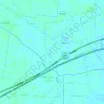
Name: 赵王河 topographic map, elevation, terrain.
Location: 赵王河, 郓城县, 菏泽市, 山东省, 中国 (35.43965 115.86754 35.45655 115.91278)
Average elevation: 46 m
Minimum elevation: 44 m
Maximum elevation: 49 m
Other topographic maps
Click on a map to view its topography, its elevation and its terrain.