
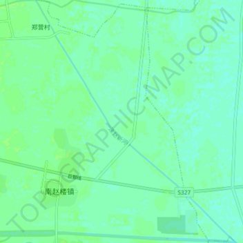
洙赵新河 topographic map
Interactive map
Click on the map to display elevation.
About this map
Name: 洙赵新河 topographic map, elevation, terrain.
Location: 洙赵新河, 郓城县, 菏泽市, 山东省, 中国 (35.38260 115.91278 35.44203 115.97289)
Average elevation: 44 m
Minimum elevation: 40 m
Maximum elevation: 47 m
Other topographic maps
Click on a map to view its topography, its elevation and its terrain.