
Gheen topographic map
Interactive map
Click on the map to display elevation.
About this map
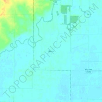
Name: Gheen topographic map, elevation, terrain.
Location: Gheen, Butler County, Missouri, 63953, United States (36.57950 -90.60400 36.61950 -90.56400)
Average elevation: 95 m
Minimum elevation: 89 m
Maximum elevation: 121 m
Other topographic maps
Click on a map to view its topography, its elevation and its terrain.
Poplar Bluff
United States > Missouri > Butler County
Poplar Bluff, Butler County, Missouri, 63901, United States
Average elevation: 112 m
Hendrickson
United States > Missouri > Butler County > Hendrickson
Hendrickson, Butler County, Missouri, 63967, United States
Average elevation: 129 m