
Hendrickson topographic map
Interactive map
Click on the map to display elevation.
About this map
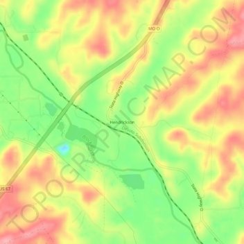
Name: Hendrickson topographic map, elevation, terrain.
Location: Hendrickson, Butler County, Missouri, 63967, United States (36.88450 -90.48900 36.92450 -90.44900)
Average elevation: 129 m
Minimum elevation: 69 m
Maximum elevation: 179 m