
Thank you for supporting this site ❤️
Make a donation
Make a donation
Lac Caron topographic map
Click on the map to display elevation.
Thank you for supporting this site ❤️
Make a donation
Make a donation
About this map
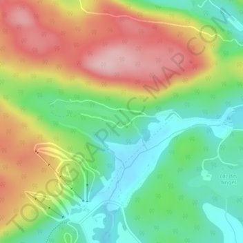
Name: Lac Caron topographic map, elevation, terrain.
Location: Lac Caron, Shawinigan, Mauricie, Quebec, Canada (46.62469 -72.79216 46.62498 -72.79084)
Average elevation: 228 m
Minimum elevation: 138 m
Maximum elevation: 344 m
Thank you for supporting this site ❤️
Make a donation
Make a donation
Other topographic maps
Click on a map to view its topography, its elevation and its terrain.