
Shawinigan topographic map
Interactive map
Click on the map to display elevation.
About this map
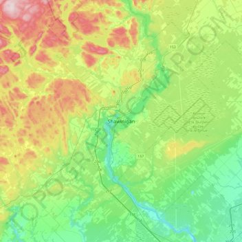
Name: Shawinigan topographic map, elevation, terrain.
Location: Shawinigan, Mauricie, Quebec, G9N 1G6, Canada (46.37896 -72.90676 46.69896 -72.58676)
Average elevation: 137 m
Minimum elevation: 4 m
Maximum elevation: 414 m
Other topographic maps
Click on a map to view its topography, its elevation and its terrain.