
庄园街道 topographic map
Interactive map
Click on the map to display elevation.
About this map
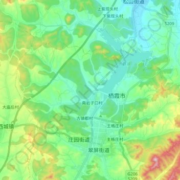
Name: 庄园街道 topographic map, elevation, terrain.
Location: 庄园街道, 栖霞市, 烟台市, 山东省, 265300, 中国 (37.29754 120.76069 37.37937 120.90926)
Average elevation: 192 m
Minimum elevation: 83 m
Maximum elevation: 511 m
Other topographic maps
Click on a map to view its topography, its elevation and its terrain.