
潍水社区 topographic map
Interactive map
Click on the map to display elevation.
About this map
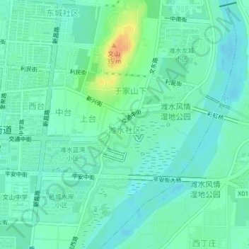
Name: 潍水社区 topographic map, elevation, terrain.
Location: 潍水社区, 奎聚街道, 昌邑市, 潍坊市, 山东省, 中国 (36.84015 119.40995 36.85198 119.43444)
Average elevation: 12 m
Minimum elevation: 2 m
Maximum elevation: 39 m
Other topographic maps
Click on a map to view its topography, its elevation and its terrain.