
大湾社区 topographic map
Interactive map
Click on the map to display elevation.
About this map
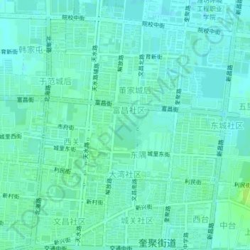
Name: 大湾社区 topographic map, elevation, terrain.
Location: 大湾社区, 奎聚街道, 昌邑市, 潍坊市, 山东省, 261300, 中国 (36.85235 119.38790 36.86403 119.41014)
Average elevation: 11 m
Minimum elevation: 7 m
Maximum elevation: 19 m
Other topographic maps
Click on a map to view its topography, its elevation and its terrain.