
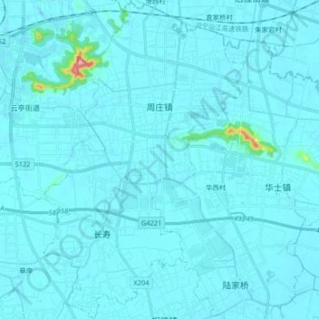
周庄镇 topographic map
Interactive map
Click on the map to display elevation.
About this map
Name: 周庄镇 topographic map, elevation, terrain.
Location: 周庄镇, 江阴市, 无锡市, 江苏省, 214400, 中国 (31.77238 120.34622 31.91053 120.44929)
Average elevation: 10 m
Minimum elevation: -10 m
Maximum elevation: 246 m
Other topographic maps
Click on a map to view its topography, its elevation and its terrain.